


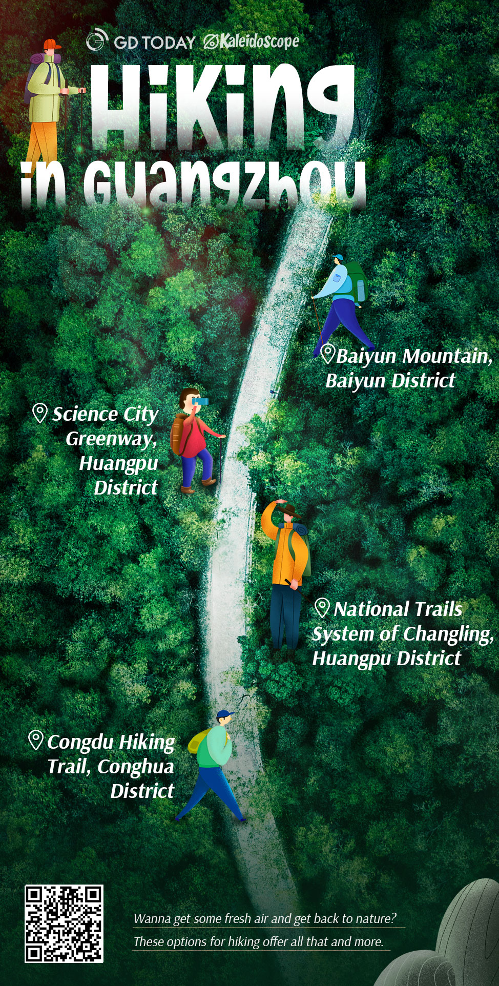
Hiking is proven to have many health benefits, ranging from physical exercise you get when out on the trail, to emotional or mental relief that comes from being in nature. Wanna get some fresh air and get back to nature? These options for hiking offer all that and more.
Baiyun Mountain
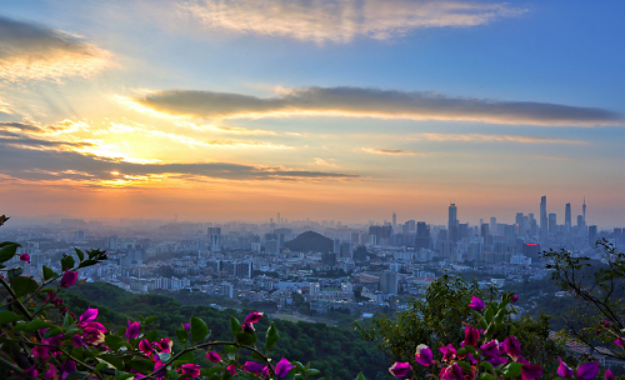
(Photo: Baiyun Mountain)
Baiyun Mountain covers a large area of northeast Guangzhou. It has been considered to be the top natural scenic part of the city since ancient times due to its magnificence and loftiness. Its summit is wreathed in clouds whenever the sky clears after rain. Moxing Summit is Baiyun Mountain's highest peak with a height of 382 meters.
Recommended routes:
West Gate–Niuling Lawn–Moxing Summit–Banshan Pavilion–West Gate
(白云山西门—牛岭大草坪—摩星岭—半山亭—白云山西门)
West Gate–Huigui Forest–Mingzhu Tower–Summit Park–Moxing Summit–South Gate
(白云山西门—回归林—明珠楼—山顶广场—摩星岭—白云山南门)
South Gate–Nengren Temple–Summit Park–Moxing Summit–South Gate
(白云山南门—能仁寺—山顶公园—摩星岭—白云山南门)
ScienceCity Greenway
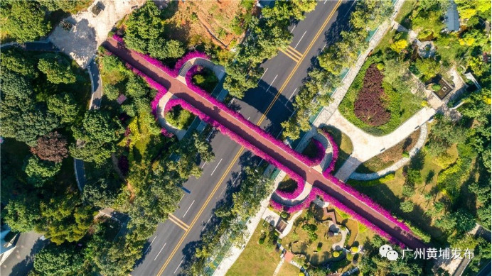
(Photo: Guangzhou Huangpu Fabu)
With a total length of 13.12 kilometers, the greenway contains six platform bridges built along the mountain sides, linking seven parks including Shiziling, Huanshan, Niujiaoling, Jianfengling, Biangangling, Sports Park, and Yushu Park. You can enjoy the beautiful city garden view with your family.
Location: Huangpu District
Recommended route:
Sports Park–Tengxiang Bridge–Yushu Park–Lanyue Bridge–Shiziling Park–Rainbow Bridge–Science Square–Ningcai Bridge–Science Avenue–Greenland square–Yingri Bridge–Jianfengling Park–Caiyun Bridge
(体育公园—体育公园环山绿道—腾翔桥—玉树公园—揽月桥—揽月路绿道—狮子岭公园—彩虹桥—科学广场—凝彩桥—凝彩路绿道—科学大道—绿地广场—映日桥—尖峰岭公园—彩韵桥)
National Trails System of Changling
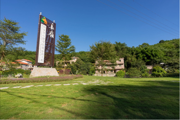
(Photo: National Trails System of Changling)
The National Trails System of Changling (长岭国家登山健身步道) is the first national-level hiking trail in Guangdong, with a total planned length of 67.8 kilometers and more than 10 routes. It links four communities including Huangma, Huangdeng, Changping and Lingtou. Along the trail, you can find the landscape like reservoirs, tea plantations, graffiti walls, mountains and rivers.
Location: Huangpu District
Entrances: Huangma Main Entrance (黄麻主出入口), Changping Main Entrance (长平主出入口), Lingtou Main Entrance (岭头主出入口)
Related information: Huangpu Changling trail popular for hiking lovers in Guangzhou
Congdu Hiking Trail
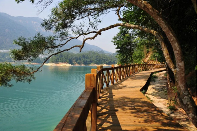 (Photo: Guangzhou Conghua Fabu)
The 11-kilometer trail is a good choice for both young and old, which is pleasant in all seasons. You can walk or take a boat trip to enjoy the pastoral beauty along the Liuxi River. Calm blue water with fish swimming will certainly entertain you.
Location: Conghua District
Recommended route:
Hot Spring Wetland Park–Liuxi River Greenway–Huangjing Village–Weidong Village–Mibu Village–Imperial Springs International Conference Center, Congdu Wetland Park, Litchiqiu Square
(温泉风景区湿地公园—流溪河绿道—黄径村—卫东村—米埗村—从都国际会议中心、从都湿地公园、荔枝球广场)
Author | Holly, Echo (intern)
Poster | Mia
Editor | Wing, Nan, Monica, Jerry