


Super Typhoon Yagi, the 11th typhoon of this year, made landfall in south China's Hainan Province on Friday afternoon, according to the province's emergency management headquarters.
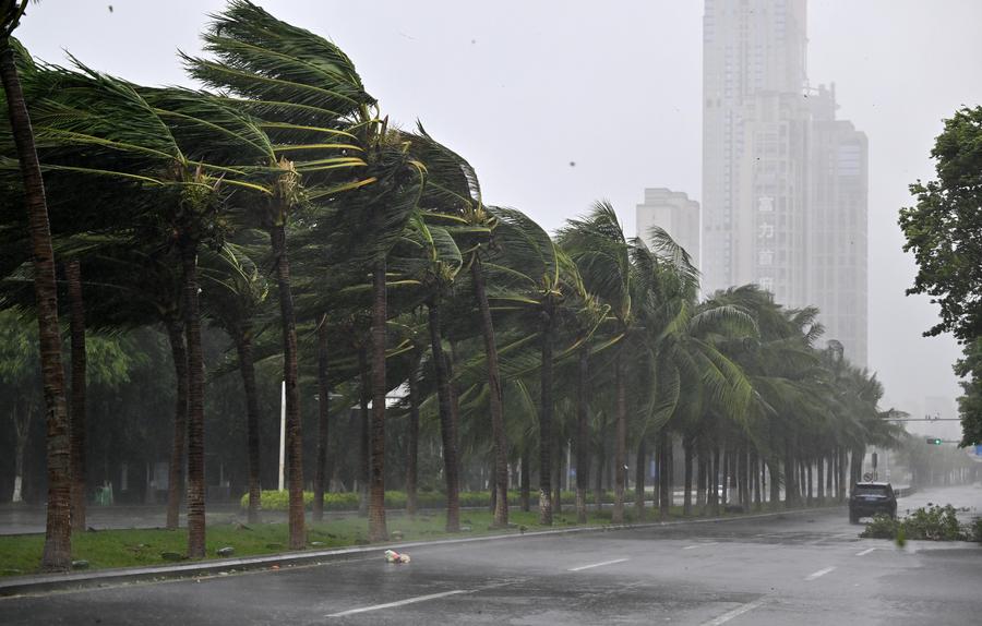
Coconut trees struggle against strong wind on a street in Haikou, south China's Hainan Province, Sept. 6, 2024. (Xinhua/Guo Cheng)
The typhoon, packing winds exceeding 234 km per hour, hit the coast of Wengtian Township in Wenchang City at 4:20 p.m.
The typhoon has brought heavy rainfall across most of the island, with severe rainstorms in certain townships and villages. The northern part of Hainan has experienced strong winds ranging from level 13 to 16, while some cities and counties have faced power outages.
Yagi is forecast to move toward the island's capital Haikou, as well as Chengmai and Lingao counties, before heading to the Beibu Gulf on Saturday morning, according to the provincial meteorological bureau.
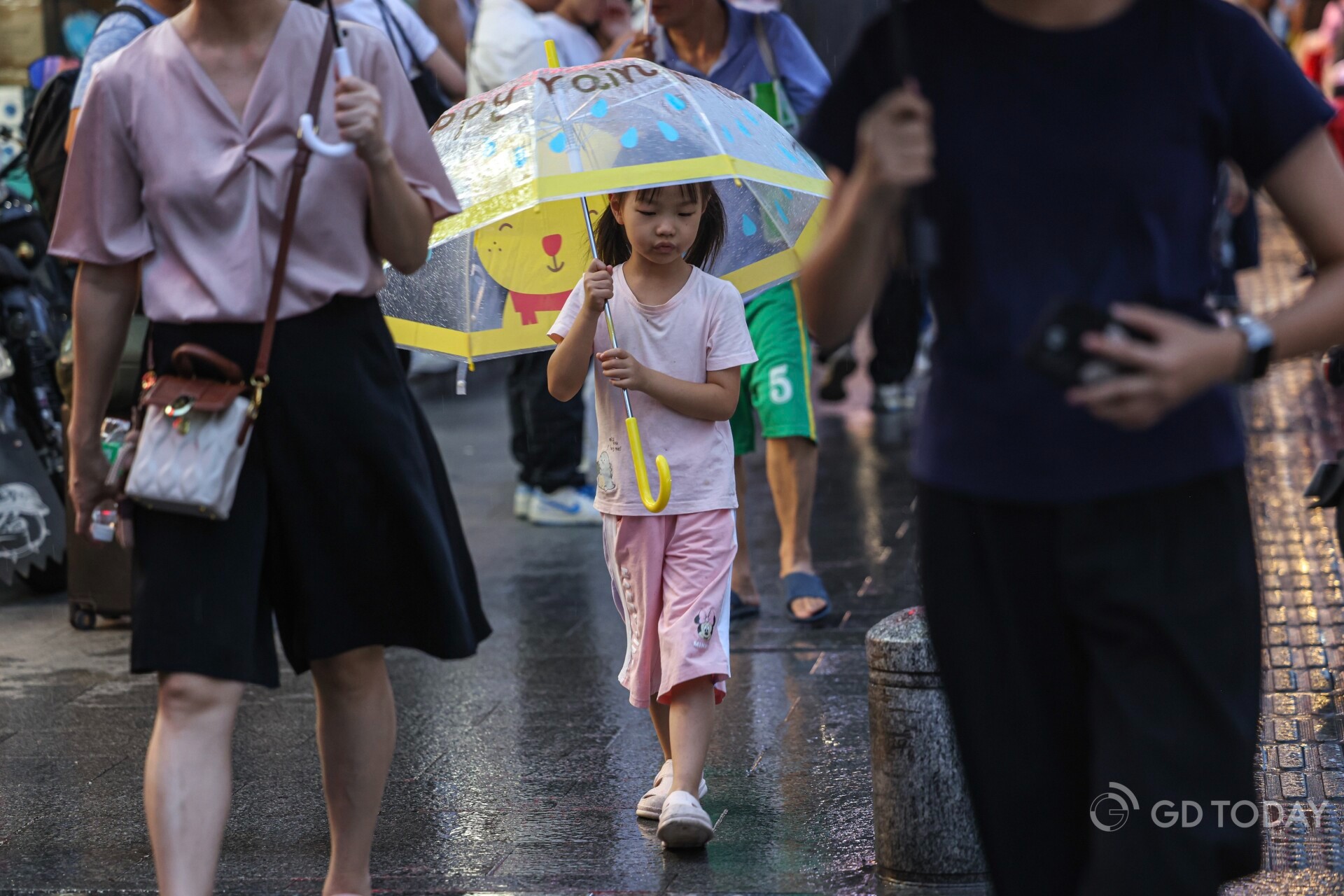
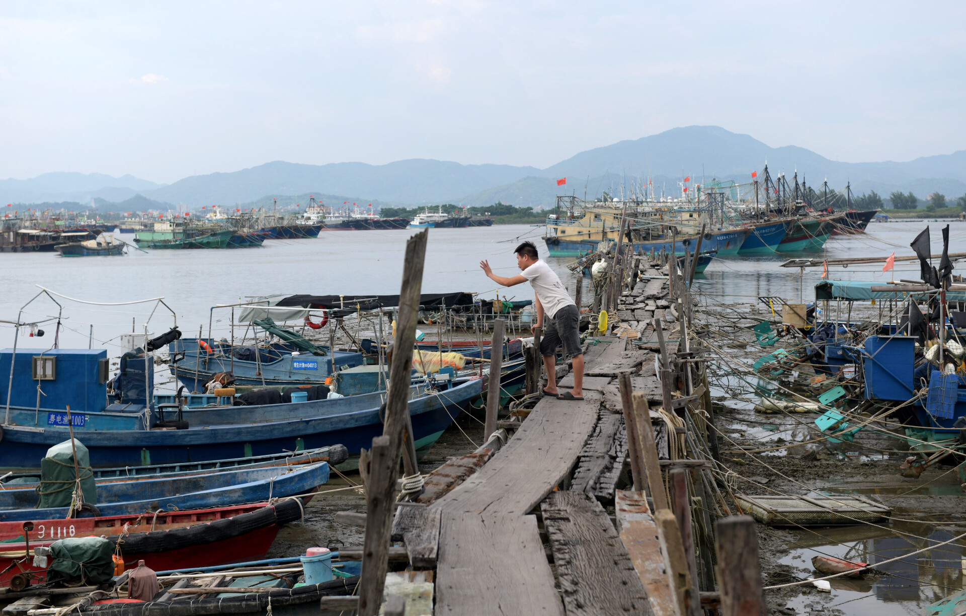
(Photo: Nanfang Daily)
At around 11 p.m. local time on September 5, Typhoon Yagi's maximum sustained winds near its center reached over 17 levels, with speeds exceeding 62 meters per second, making it the most potent storm in the western North Pacific and the South China Sea this year.
The National Marine Environmental Forecasting Center raised both storm surge and wave warnings to the highest level of Red Alert on September 5, marking the second time this year that both warnings have been simultaneously issued.
On September 5, 70,000 pieces of central relief supplies, including folding beds, towels, and emergency kits, were delivered to Guangdong and Hainan to support disaster prevention, relief, and evacuation work.
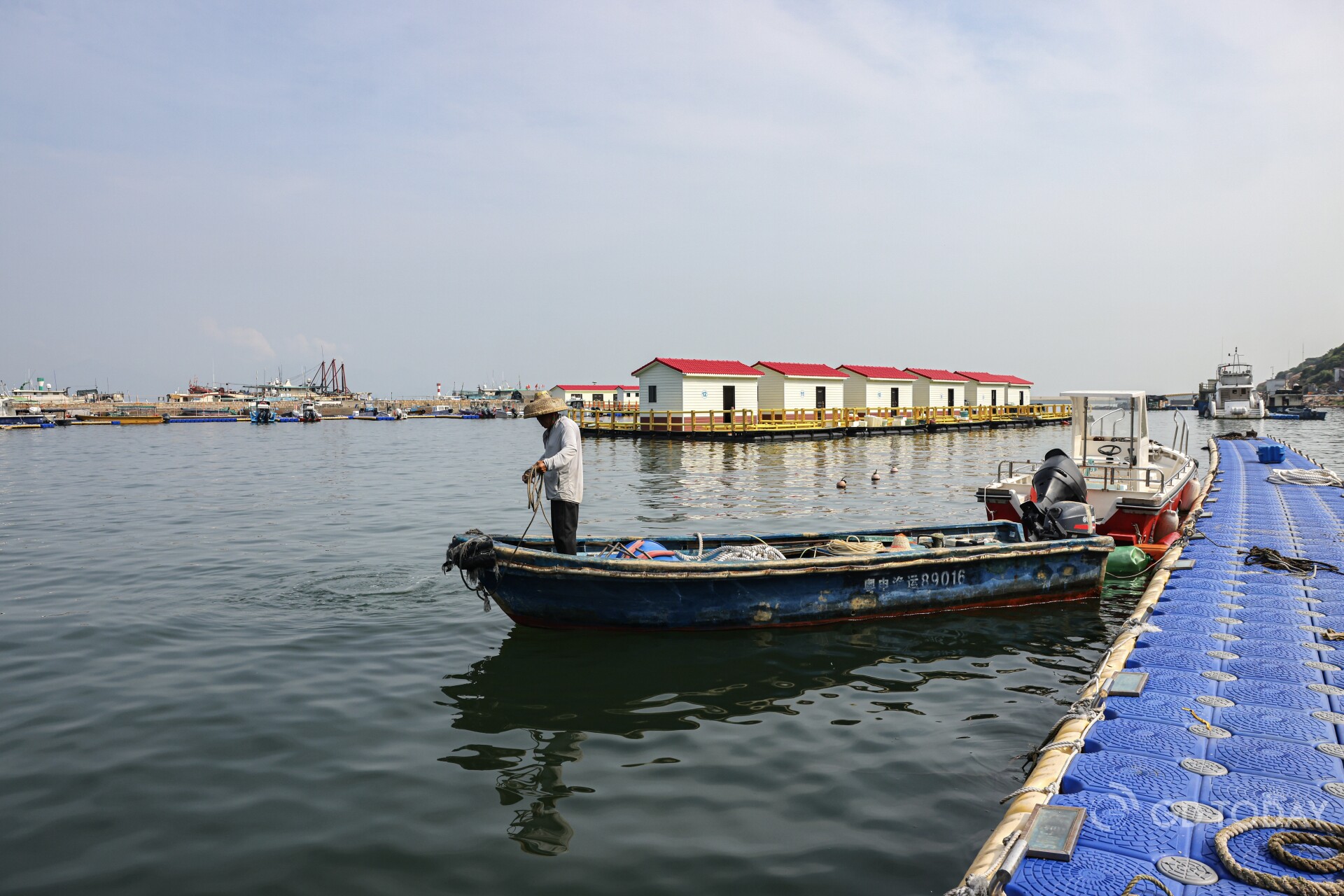
(Photo: Nanfang Daily)
Cities brace for typhoon impact
Shenzhen: All schools, kindergartens, and nurseries in the city have been suspended for September 6.
Hong Kong-Zhuhai-Macao Bridge: To ensure traffic safety, the main bridge section was temporarily closed from 9 p.m. on September 5 due to Typhoon Yagi's impact.
Two main rainfall centers are anticipated: one near the typhoon's landfall point, encompassing the northeastern tip of Hainan Island to the southeastern part of Leizhou Peninsula, and the other on the typhoon's right flank, over the regions of Maoming and Yangjiang in Guangdong.
The CMA forecasts heavy to very heavy rains in southern China and southern Yunnan from September 6 to 8, with extreme rainfall expected in Hainan, southwestern Guangdong, and southern Guangxi. The heaviest rains are predicted for Hainan, Guangdong, and Guangxi on September 6-7, while Yunnan will experience intense rainfall on the night of September 7 to August 8.
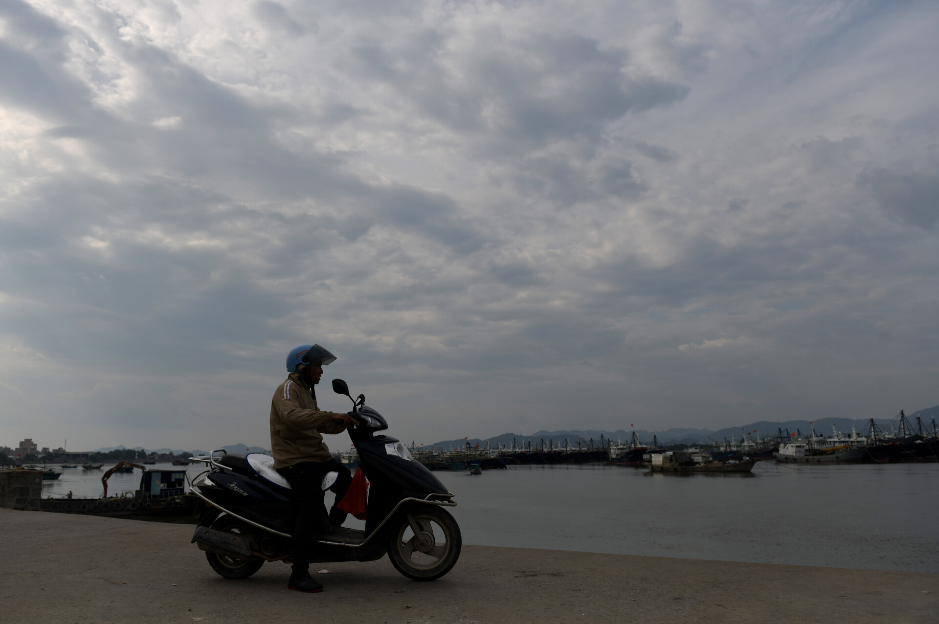
(Photo: Xinhua)
Why do super typhoons often occur in autumn?
Typhoon Yagi is a fall typhoon, occurring between September and November. Fall typhoons tend to be more intense, due to several factors. From the Spring Equinox, the sun's direct radiation shifts northward, heating up tropical oceans in the Northern Hemisphere, and allowing sea temperatures to peak in August to September. This high sea surface temperature favors typhoon formation and intensification. Additionally, the activation of cold air masses towards the end of August and early September further enhances typhoon strength.
More about typhoon red alert
China's typhoon warning system comprises four levels. The Typhoon Red Alert indicates that tropical cyclone-induced winds may reach or have already reached Category 4 or above (sustained winds of 12 levels or higher, with gusts of 14 levels or more) within six hours, necessitating rigorous measures such as canceling gatherings, suspending classes and businesses, and evacuating people to safer locations.
Since 2010, the CMA has issued Red Alerts for approximately two typhoons annually, which have been particularly intense, widespread, and devastating. Examples include Typhoon Lekima in 2019 and Super Typhoon Mangkhut in 2018, both of which triggered Red Alerts and caused a significant loss of life and property.
(Photo: Xinhua)
Safety tips during a typhoon
Indoors:
Seek shelter in rooms with no or small windows, such as bathrooms, during high winds.
Secure doors, windows, outdoor air conditioners, and solar water heaters. Tape windowpanes in an "X" pattern to prevent shattering.
Outdoors:
Avoid temporary structures, billboards, towers, and tall trees.
Stay away from riverbanks, lakeshores, and bridges to prevent being blown into the water.
Park vehicles in elevated areas, avoiding obstacles and standing water.
If swimming or on the water, return to shore immediately.
Stay put after the initial calm, as the typhoon's eyewall can return with even greater fury.
Related link:
A guide to managing severe convective weather risks
Author | Alice
Editor | Nina, James
Source | GDToday, Xinhua